Vulnerability Assessments
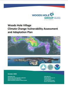
ResilientWoodsHole studied how sea level rise and coastal storms might impact Woods Hole over the next 50 years. We assessed buildings, roads, and essential services and found that many areas are already prone to flooding. By 2070, over 30% of buildings and 25% of roads could be flooded during strong storms.
See our vulnerability assessment results for Woods Hole below.


